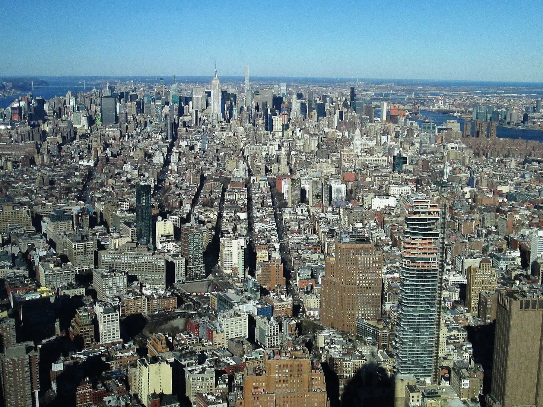
What Is Considered Midtown Manhattan?
Midtown is a practical name for central Manhattan, but its exact edges change with context. For everyday navigation, 14th Street and 59th Street are useful broad reference lines; zoning, community districts and neighborhood names use more specific boundaries.
Image: Beyond My Ken · CC BY-SA 4.0

There is no single Midtown boundary for every purpose
Midtown is one of Manhattan's most useful geographic labels, but it is not one polygon that every New York agency, resident and visitor uses identically. A traveler asking whether a hotel is in Midtown is solving a different problem from a planner reading the Special Midtown District zoning map. The safest answer starts with a broad navigation frame and then explains the formal exceptions.
For everyday orientation, think roughly 14th Street to 59th Street
NYC Taxi and Limousine Commission driver education material uses 14th Street as the boundary between Midtown and Downtown and 59th Street as the boundary between Midtown and Uptown. That makes a useful broad mental model for visitors. It covers the central band containing major destinations around Penn Station, Times Square, Bryant Park, Grand Central, Rockefeller Center and the blocks south of Central Park.
This does not mean every block between those streets is normally marketed as simply “Midtown.” Chelsea, Flatiron, NoMad, Gramercy and other named neighborhoods overlap the broad central-Manhattan band in everyday speech. Neighborhood identity is often more specific than the larger orientation label.
The official Special Midtown District is narrower and purpose-built
New York City's Zoning Resolution establishes a Special Midtown District to regulate a central business area and identifies subdistricts such as Fifth Avenue, Grand Central and the Theater area. Its mapped boundary is a planning tool, not a universal definition of Midtown. You should not use a zoning boundary to decide whether a restaurant can reasonably describe itself as being in a nearby neighborhood.
Midtown East and Midtown West are practical halves, not mirror images
Fifth Avenue is the most useful dividing line for East and West street addresses in central Manhattan. Midtown East generally points toward Grand Central, Madison and Lexington avenues and the East River side; Midtown West points toward Times Square, the Theater District, Hell's Kitchen and the Hudson side. But named districts within each half remain important. A place near Columbus Circle and a place near Penn Station may both be west of Fifth Avenue while feeling very different on foot.
Why 34th Street or 42nd Street sometimes feels like “the center”
Midtown has several major east–west anchors rather than one downtown-style civic center. 34th Street connects the Penn Station and Herald Square area; 42nd Street links the Times Square, Bryant Park and Grand Central corridor; 57th Street forms another major band near the southern edge of Central Park. That is why a hotel search for Midtown can return places separated by a substantial walk.
Use the boundary that matches the question
For trip planning, use 14th to 59th streets as a broad orientation frame, then switch to the actual neighborhood and avenue when choosing where to stay, eat or walk. For zoning, development or property questions, use the official Department of City Planning map instead. Treating those two uses as interchangeable creates false precision.
A practical Midtown test
If a destination is between 14th and 59th streets, it is reasonable to think of it as being in the broad central-Manhattan zone. Then ask the more useful second question: is it actually in Chelsea, NoMad, Flatiron, Gramercy, Hell's Kitchen, the Theater District, Midtown East or another named area? That second label usually tells you more about the walking experience.
Methodology
This article separates colloquial navigation from regulatory geography. The broad 14th-to-59th-Street frame is anchored to current NYC Taxi and Limousine Commission driver education material, while formal Midtown planning geography is cross-checked against the New York City Zoning Resolution and its Special Midtown District maps. Named-neighborhood examples are presented as practical orientation rather than legal boundaries. The article deliberately avoids claiming that one official polygon defines every use of the word Midtown.