Is Manhattan Walkable?
Yes — at neighborhood scale, walking is one of Manhattan's most useful ways to move — but the island is too large and varied for “just walk everywhere” to be good advice. Distance, long crosstown blocks, hills, weather, crowds and mobility needs all change the answer.
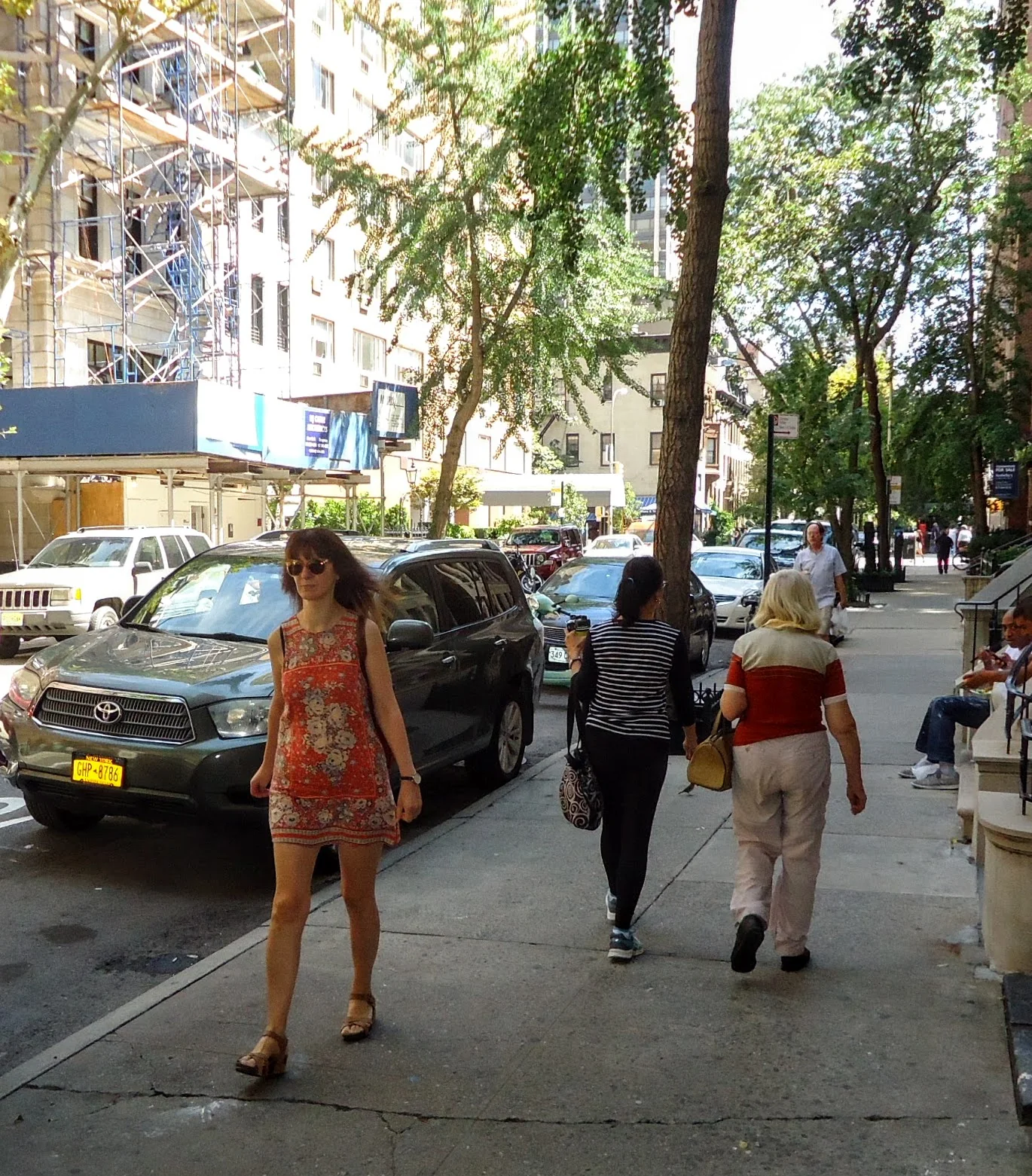
Image: Tomwsulcer · CC0

Manhattan is walkable, but not all at once
For exploring one neighborhood or moving between adjacent areas, walking is often the clearest way to understand Manhattan. Streets, storefronts, parks and building entrances make much more sense at sidewalk speed than from a vehicle. NYC DOT describes New York as a city whose pedestrians rely on an interconnected network of sidewalks and street crossings, and its WalkNYC wayfinding system is designed specifically around short neighborhood walks and larger walking areas.
The mistake is turning that truth into “you never need transit.” Manhattan stretches far enough north–south that a route can look simple on a map while consuming a large part of the day. A good itinerary combines walking for the part where the street experience matters with subway or bus travel for the long jump between areas.
Neighborhood-scale walking is the sweet spot
SoHo to Greenwich Village, Chelsea to the Flatiron area, or the Upper West Side between Lincoln Center and the American Museum of Natural History are examples of distances that can work naturally as walking days. You see the transition between neighborhoods instead of teleporting from attraction to attraction. Our own itineraries use this principle by checking consecutive stop distances and keeping the route moving in one direction when possible.
Crosstown distance is easy to underestimate
Numbered street blocks are short enough that moving ten streets north can feel surprisingly manageable. Crosstown blocks between avenues are generally longer, and major avenues introduce traffic signals and crowded crossings. Two or three avenue changes can therefore take more effort than the same number of numbered-street blocks suggests. NYC DOT's WalkNYC maps include five-to-seven-minute and roughly fifteen-minute walking areas precisely because useful pedestrian planning is about actual nearby reach, not just counting block labels.
Upper Manhattan adds real topography
Midtown's grid can make Manhattan look flat on a screen, but Washington Heights, Morningside Heights, Inwood and park edges can involve substantial slopes or stairs. Waterfront routes also create elevation changes. If step-free access, a stroller or limited walking endurance matters, check entrances and transit connections rather than assuming the shortest line on the map is the easiest route.
Weather and crowds change the same route
A twenty-minute walk on a mild weekday is a different experience in heavy rain, summer heat, snow or dense holiday crowds. This is why “walkable” should mean that a route is practical under the conditions you actually have, not that the pavement technically connects two points. On difficult-weather days, choose one area, reduce the number of transfers between neighborhoods and use indoor anchors.
When should you take the subway or bus?
Use transit when the long movement between neighborhoods is not itself part of the experience. If you are leaving the Financial District for the Upper West Side, save your walking energy for the destination. Buses can also be useful for crosstown movement or when a subway line does not match your route. Walking works best as the detailed layer of a Manhattan day; transit handles the large geographic jumps.
A practical rule for planning
Group your day into walkable clusters. Pick two or three nearby anchors, connect them on foot, then use transit once to move to the next cluster. That approach is easier on your legs, gives you more time inside the places you came to see and still preserves the street-level experience that makes Manhattan rewarding to explore.
Methodology
This article answers walkability as a trip-planning question rather than assigning Manhattan a universal score. It uses current NYC DOT pedestrian guidance for the city's sidewalk network, wayfinding and pedestrian-comfort framework, then applies those principles conservatively to Manhattan route planning. It avoids claiming a fixed walking time for every block because crossings, crosstown geometry, grade, weather, crowds and individual mobility needs vary. Examples are drawn from route families already coordinate-checked within Manhattan NYC.