New York City Department of City Planning
About
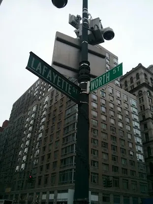
Urban planning shapes the skeleton of a city—where buildings rise, how neighborhoods connect, and what public spaces become. In New York, that blueprint gets its lines at New York City Department of City Planning, where zoning maps, land use policies, and long-term growth strategies take form. Just blocks from City Hall, the office sits at 22 Reade St, a stretch of Lower Manhattan where colonial-era streets meet the hum of modern governance. This isn’t the place for permit paperwork or building inspections, but it’s where the bigger questions get tackled: How tall should that new tower be? Where does affordable housing fit? What makes a waterfront resilient?
The work here ripples across all five boroughs, though you won’t find flashy signage or public tours. Instead, it’s a hub for architects, developers, and community boards parsing the city’s physical future—one rezoning proposal or environmental review at a time. Need to dig into a specific district’s regulations or trace the history of a lot? Their archives and digital tools cut through the bureaucracy. And while most interactions happen through official channels, the office remains a fixed point in a city that’s constantly redrawing itself.
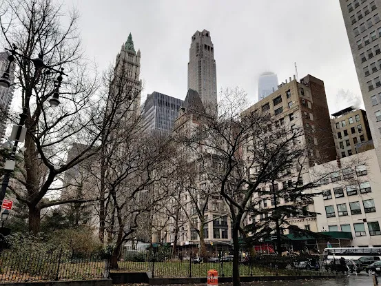
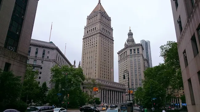
Questions about a pending land-use application or curious how a neighborhood’s zoning evolved? A call to (212) 720-3300 connects you to the details. For those mapping out a visit—or just wanting to picture where the decisions unfold—the directions place it between the courthouses and the skyscrapers, because of course it does. Some offices just *feel* like New York.